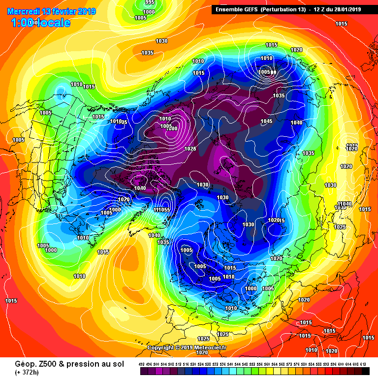
One of very many scenario's
Another ….all primed
And another
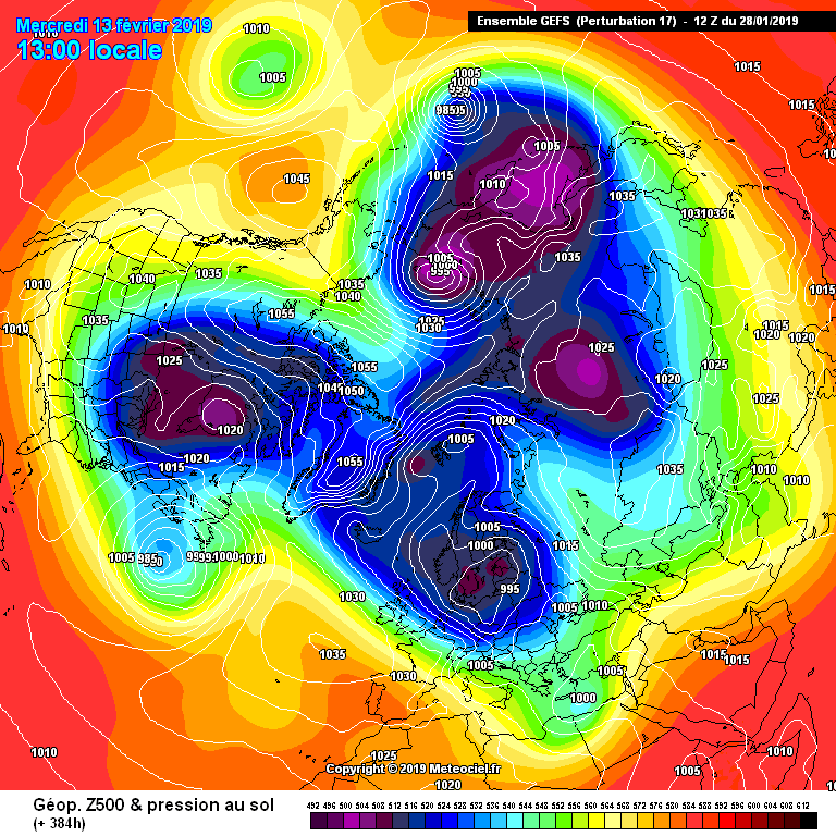
And another
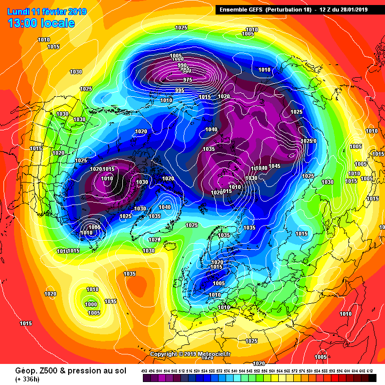
And another
And another
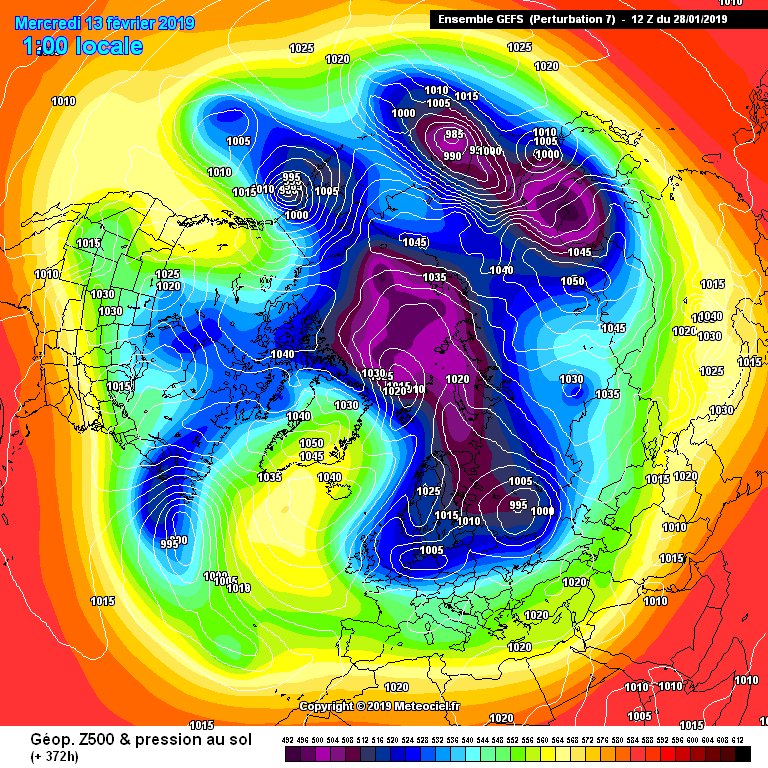
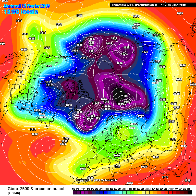
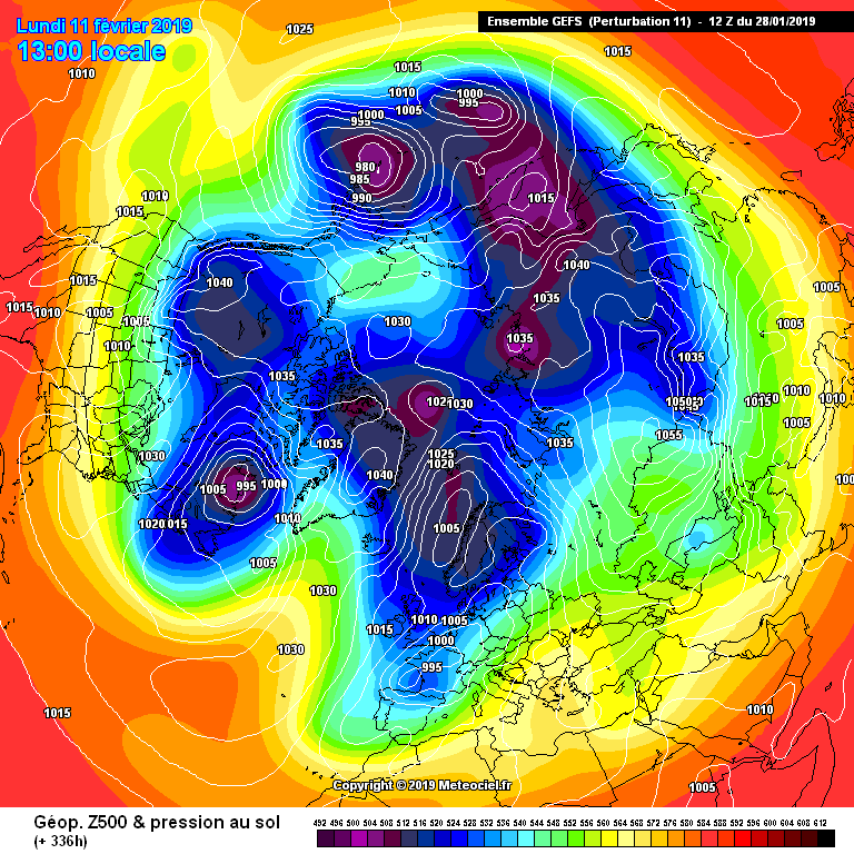
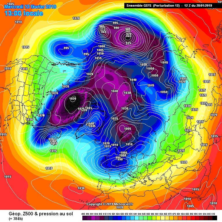
And another
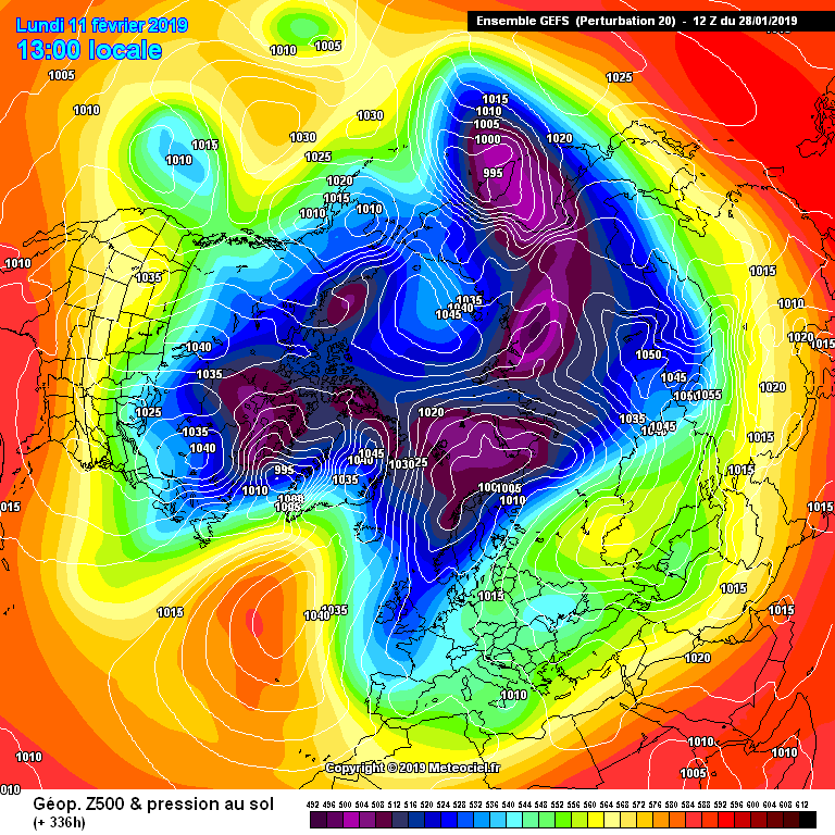
The above are from the mild flip GFS 12z , if people cant see why there could well be colder weather down the line then rub your eyes, I certainly can see why the Met are keeping it in their LRF's at the moment , all is not lost
Originally Posted by: Gooner