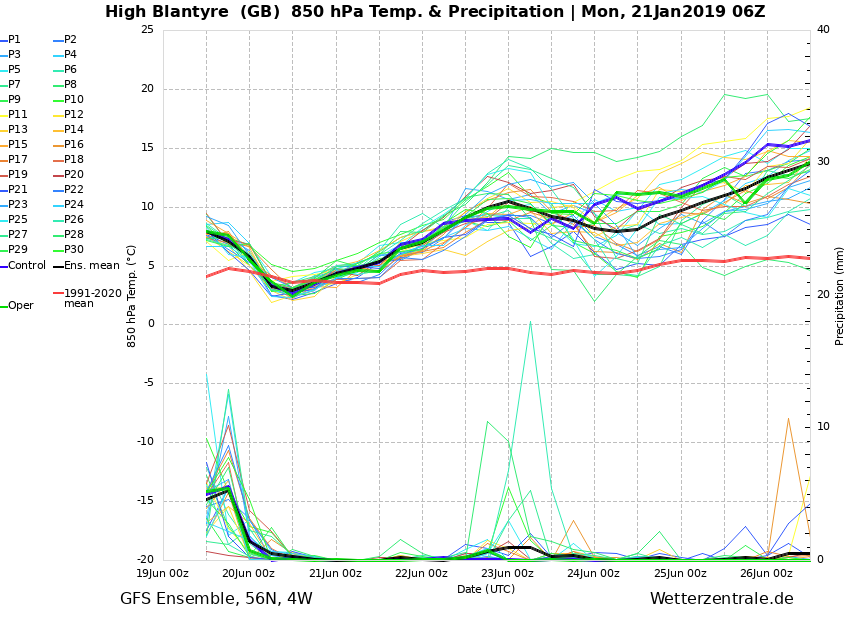
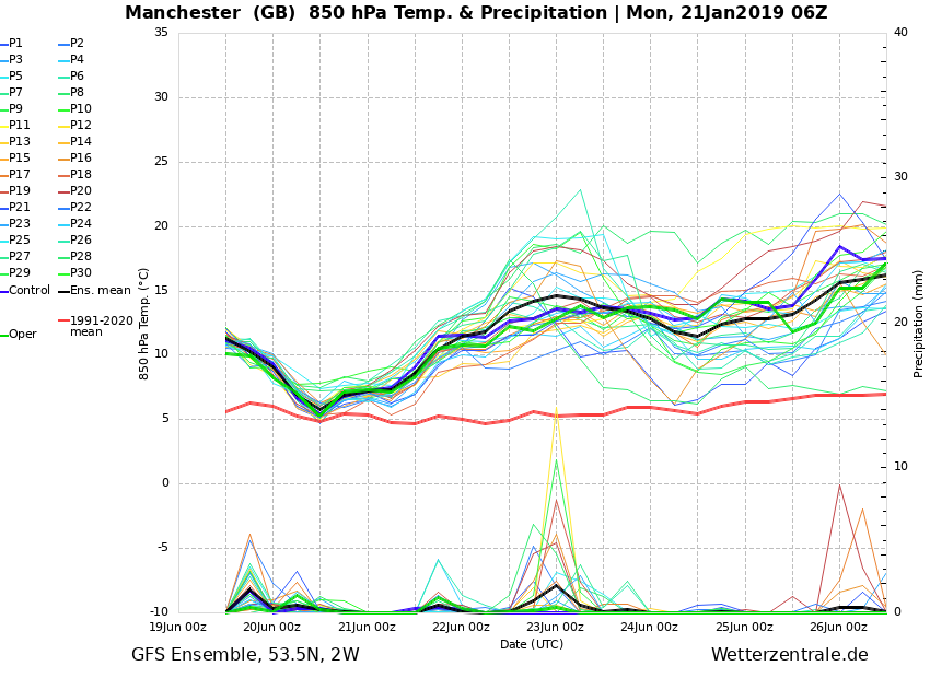
There's perhaps a degree difference (if that) in the 850's between the Ens for East Kilbride and the Ens for Manchester. If people are getting giddy about the West Scotland prospects, then they should expand that into Northern England, too.
I'm not particularly hopeful we'll get anything worth getting excited over, but there've been a number of instances over the years where a forecasted cold spell has failed to come off, but a week or so later a different cold spell seemingly comes out of nowhere (the reality is that it was showing in the models all along, but a combination of a renewed distrust over the models, the actual cold spell not being as headline-grabbing as the initial 'fail', and often not impacting the S/SE, means it's overlooked)
Originally Posted by: Saint Snow