SJV
  • SJV
  • Advanced Member
31 May 2017 18:17:15

Originally Posted by: Joe Bloggs 


12z GFS looks just lovely! 


http://old.wetterzentrale.de/pics/Rtavn2401.gif


FI, but still...


Bullseye!  Let's see what the ECM can respond with 


Follow/like Steel City Skies - Sheffield Weather Forecasting on Facebook , Twitter  and Instagram .
📢 Play the TWO Forums Quiz!  📢
moomin75
31 May 2017 18:56:37

Originally Posted by: Joe Bloggs 


12z GFS looks just lovely! 


http://old.wetterzentrale.de/pics/Rtavn2401.gif


FI, but still...


I commented on that and it got deleted...presumably by my tongue in cheek remark about it looking very Autumnal. ECM 12z is more traditional with a northwest/southeast split. Nowhere near as unsettled and probably quite warm. Just proves that not even next week is set in stone yet. Must say the models have swung more than ever in the last few months. Makes it very difficult to nail down any trends.


Witney, Oxfordshire
100m ASL
sunnyramsgate
31 May 2017 20:31:00
There will be a nice step down before next week......pleassse
Stormchaser
31 May 2017 20:50:15


ECM (left) v. GEM (right) for a week today.


The latter is the last model holding out some hope and it wouldn't really count for much had it not been the first to spot the more settled outcome for last week.


If ever we needed GFS and ECM to be overdoing an uptick in jet stream strength this season, this is the time.


Optimistic Flag: On 


If you have any problems or queries relating to TWO you can Email [email protected] 🙂
https://twitter.com/peacockreports 
2021's Homeland Extremes:
T-Max: 30.4°C 21st Jul | T-Min: -6.8°C New Years Day! | Wettest Day: 34.1mm 2nd Oct | Ice Days: 2 (27th Jan & 8th Feb)
Keep Calm and Forecast On
Bolty
31 May 2017 21:03:55

Some pretty awful charts being churned out by the models for early June, with low pressure close to or slap bang on top of the country. If they are convective-type lows then I can manage with that, but if they are lows loaded with frontal garbage then no thanks. The hope I'm hanging onto at the moment is the fact that the models have been overestimating unsettled weather over recent months.


But in the meantime, does a chart get any worse for June?


Scott
Blackrod, Lancashire (4 miles south of Chorley) at 156m asl.
My weather station 
DEW
  • DEW
  • Advanced Member
01 June 2017 05:56:29

Definitely Euro monsoon time -UK joining it in a week from now


http://www.wxmaps.org/pix/prec4.html


War does not determine who is right, only who is left - Bertrand Russell

Chichester 12m asl
Jiries
01 June 2017 06:31:12

http://www.wetterzentrale.de/en/panels.php?model=gem&var=1&map=1&lid=OP


I hope the outcome for GEM will come off as afte a short unsettled spell a warmer set-up come to effect for here.  Even so GFS show some unsettled weather but the ensembles runs still continue to show some hot runs so nothing is solved for next week but I think GEM will be the winner for next week as they did for last week hot spell. 

Ally Pally Snowman
01 June 2017 06:52:58

Mini plume on the ecm as well but a basically unsettled run. But there is so much heat around to our south we will be very unlucky this summer if at some point we dont get an extremely hot spell.


http://old.wetterzentrale.de/pics/Recm1922.html


Bishop's Stortford 85m ASL.
Jiries
01 June 2017 07:07:28

Originally Posted by: Ally Pally Snowman 


Mini plume on the ecm as well but a basically unsettled run. But there is so much heat around to our south we will be very unlucky this summer if at some point we dont get an extremely hot spell.


http://old.wetterzentrale.de/pics/Recm1922.html


Agreed and at some point the LP to the west will die out at some point so that will allow proper heat nationwide based on Azores to Scandinavia HP movement otherwise it would be boring to see short lived warm spells in the SE if the LP kept hanging around to the west that limited the HP from taking place of whole of UK.


Gusty
01 June 2017 11:09:57

The June monsoon 'return of the westerlies' is not dramatic hyperbole and should be expected most years. Its very normal and part of a hemispherical pattern shift. 


Its the very reason why June (away from western Scotland) often disappoints and does not live up to its potential.


Steve - Folkestone, Kent
Current conditions from my Davis Vantage Vue
https://www.wunderground.com/dashboard/pws/IFOLKE11 
Join Kent Weather on Facebook.
https://www.facebook.com/stevewall69/ 


Sevendust
01 June 2017 16:17:12

Originally Posted by: Gusty 


The June monsoon 'return of the westerlies' is not dramatic hyperbole and should be expected most years. Its very normal and part of a hemispherical pattern shift. 


Its the very reason why June (away from western Scotland) often disappoints and does not live up to its potential.


moomin75
01 June 2017 16:43:21

Quite big changes on the GFS 12z. Trending towards something a good deal more summery.


Witney, Oxfordshire
100m ASL
Jiries
01 June 2017 17:07:23

Originally Posted by: moomin75 


Quite big changes on the GFS 12z. Trending towards something a good deal more summery.


Seem to follow the GEM chart again and I do hope the next few runs to further upgrade to bring nationwide heat than just the SE that showing in 12z runs.   That what they did before for last week they kept upgrading from SE heat to nationwide heat. 

moomin75
01 June 2017 17:11:42

Originally Posted by: Jiries 


Seem to follow the GEM chart again and I do hope the next few runs to further upgrade to bring nationwide heat than just the SE that showing in 12z runs.   That what they did before for last week they kept upgrading from SE heat to nationwide heat. 


At the moment it's warm and unsettled but the trend to warmth may well pep up in my view. Perhaps we are looking at a rather thundery first half of June. Just good to see the back of that dart board low and low uppers. Warm and thundery will do just fine.


Witney, Oxfordshire
100m ASL
idj20
02 June 2017 10:59:26

Looks like everyone are finding the latest runs too painful to comment much about it.  

GFS does paint a rather autumnal look about things for next week, especially Monday. The other models to a lesser extent but still exactly not really that summery-looking with the Atlantic stirring from its late Spring slumber. Mild 'n' breezy sums it up, but drier the further south east you go (apart from Monday night/Tuesday morning).


Folkestone Harbour. 
Ally Pally Snowman
02 June 2017 18:03:31

Awful output so far GFS produces arguably the worst run all year . Some serious heat to our south so it won't take much for some decent summer weather but for the moment all looks a bit 2007ish.


Bishop's Stortford 85m ASL.
Ally Pally Snowman
02 June 2017 18:55:59

The heat in Europe is incredible some records will be broken for sure. For us though it will just make the rain heavier.


http://old.wetterzentrale.de/pics/Recm2162.html


Bishop's Stortford 85m ASL.
Hippydave
02 June 2017 19:11:32

Taking the 12z GFS operational at face value it's really not a particularly wet run for down here and it would be mostly quite warm, occasionally very warm:-


The ens generally paint a more unsettled picture, particularly in the mid term but even here we're talking a handful of members other than the blip around the 6th. 


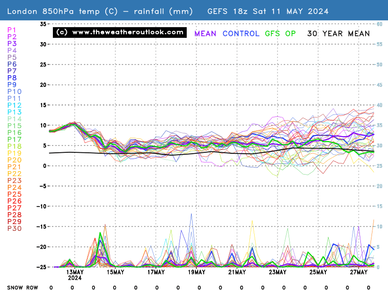
Given the hear over Europe and as suggested by the ens LP near to the UK could serve to drag up some very warm air - with some instability thrown in too it could be quite interesting


The ECM run is also unsettled just glancing at the charts but would want to see the ens with precip info to judge properly. As with the GFS though the LPs do drag up some warm air at times, albeit again more restricted to the south/south east than further north.


Not a great outlook if you like it endlessly warm and settled but not a terrible outlook in the context of what's normal for this time of year, although I appreciate it does look worse the further north and west you go.


Home: Tunbridge Wells
Work: Tonbridge
idj20
02 June 2017 22:29:14

Monday night/Tuesday morning looks especially gash . . . as a former TWO poster often used to say . . .


Folkestone Harbour. 
Retron
03 June 2017 06:32:47

A horror show to me would be 30C+, searing sunshine and not a breath of wind. Oh, and dewpoints in the high teens.

Luckily not everyone likes the same. To me, the next week looks pleasant enough, I might even lose the rancid humid feeling that's been in the house for the past fortnight! (Air-con solves that in one room as long as it's on, but natural air-con by means of a dewpoint below 10C and a breeze is a zillion times better).


Leysdown, north Kent
Users browsing this topic

Ads