A brief cold incursion (it is January after all) then a quick return to mild, Zonal dross.
Not interested in a blink and you miss it cold "snapette".
Still interesting signals in the Stratosphere, but signals can wax and wane.
Form horse remains mostly unsettled, mild and cool spells with a very brief flirtation with something cold, for about 24 hours.
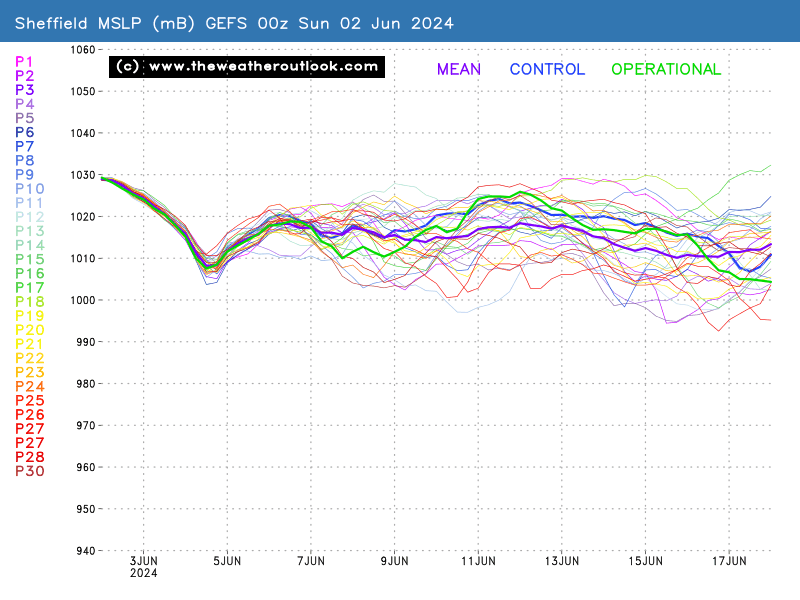
Hello, I'm not sure which charts you have to hand that point to a return to zonal weather? It may or may not turn milder after next week's cold snap, but going by the GEFS pressure ensemble suite it actually favours higher pressure (moreso further south) along with a NA jet that is far from flat across the Atlantic.
FI at that stage mind, but I'd be more inclined to favour a typical NW/SE split after the cold snap. What's a snapette? 🤔
Next week's charts scream snow potential in my opinion. Low thicknesses, trough disruption with polar air...
IMAGE. Members enable at bottom of page
We've been waiting for a change to the status quo for some time now and at last we've got it 😊
Edited by user
11 January 2023 18:30:13
|
Reason: Not specified
Jacee, Hucknall (Notts) 😽 x