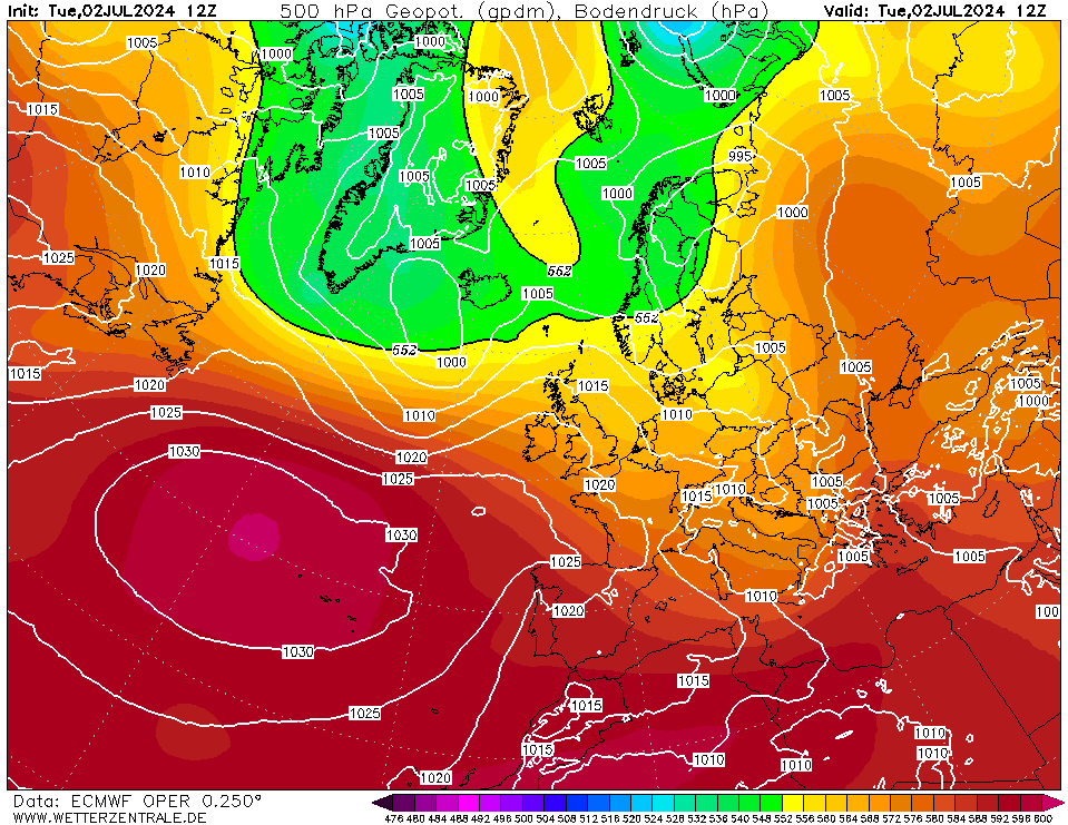
Now that any chance of meaningful snow seems to have passed where I live, let’s pause for a moment and consider the synoptics “if only it were July”. Because this week, during warmer months, would have all the makings of a classic heatwave.
Today: onset. High pressure moves over the north of the country bringing dry Easterlies with some North Sea Haar and a fresh feel in the East, but 25-27C widely in Wales and the West Country.
Midweek: heat building. A slack Eastermly airflow with increasing pressure means skies clear in the Midlands and SE and heat builds in the West. The first 30C recorded in Porthmadog and Pembrey Sands
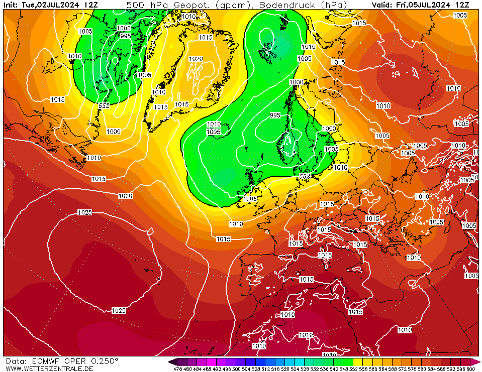
Meanwhile highland Scotland is recording its warmest and most settled period for a couple of years, with back to back 29C in Kinlochewe and 27C in Aviemore under gin clear skies, and a cheeky 25C in Stornaway.
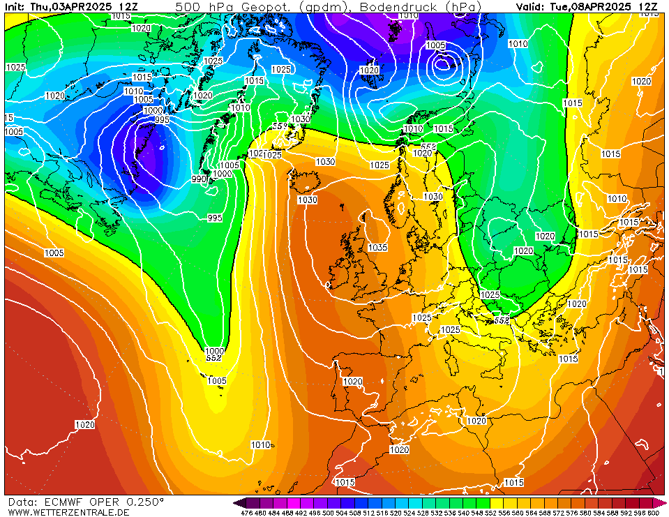
Later in the week: heatwave. As high pressure establishes to the East winds turn South Easterly across southern England and the temperature rockets. 3 consecutive days of 32C+ with the peaks in Northolt, Gloucester and (again) Porthmadog, and an overall maximum of 35C on Saturday.
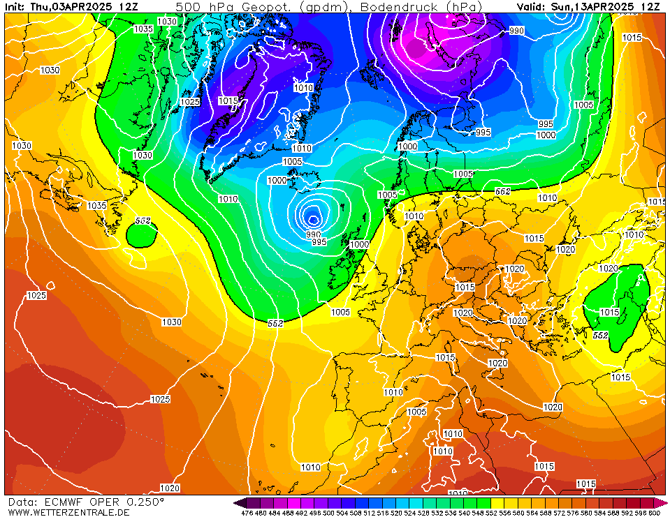
Following week: cooler but staying dry. A shift of wind to the East brings fresher conditions off the North Sea, but just as in June 1995 and June 2018 it’s not enough to prevent several more days of 30C peaks in the Midlands and North West. By next Wednesday we have a pattern almost uncannily similar to 30th June 1995. It hits 33C in Worcestershire, before cooled air from the North East starts to ease across the country. Still no sign of meaningful rain.
Brockley, South East London 30m asl