Yes but interesting why the GFS op run shows maxes of +1 or 2c for Tuesday whilst the BBC and Met offices goes for highs of +8 or 9c for Tuesday so I wonder if the GFS are over doing this snow potential for Tues?
Plus very early stages but I am so surprise the models are still not in agreement with met Office and the met office are still so bullish about cold and easterly or north easterly winds!?
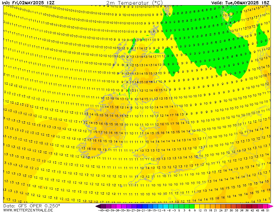
Mid afternoon maxes for Tuesday
Originally Posted by: tallyho_83