The Weather Outlook

Remove ads from site

Ally Pally Snowman
08 November 2021 17:20:09


Hopefully a route to get the CET down to below 7.5c


Originally Posted by: Saint Snow 


I went for 8.3c thinking we would squeeze out another mild month. Not looking so likely now. Not that I'd care if we can have a snowy end to November 

https://www.wetterzentrale.de/en/topkarten.php?map=20&model=gfs&var=25&run=12&time=336&lid=OP&h=0&mv=0&tr=6#mapref


Bishop's Stortford 85m ASL.
Heavy Weather 2013
08 November 2021 17:46:10
Wowsers. And here we go. The first really exciting GFS of the season.

More runs needed.


Mark

Beckton, E London

Less than 500m from the end of London City Airport runway.

Russwirral
08 November 2021 18:09:25
Lol will be gone by 10:30

Lovely titillation.


Sevendust
08 November 2021 19:00:38

IMBY that looks a very wet GFS op as we go down the line. Given an Atlantic block the pattern is certainly rather meridional. Maybe not quite cold enough and too unsettled unfortunately

DPower
08 November 2021 19:26:10
ecm not having any of what the gfs is showing. No surprises there. I am always very wary when I see amplified synoptic charts like the 12z gfs op and control run with no support from the strat. Not saying it can not happen but very unlikely.

Jan 87 is the only time that springs to my mind where a very potent cold spell occurred that was trop led.

tallyho_83
08 November 2021 19:32:21

Quite a contrast in to the GFS - the ECM shows something more zonal at day 10 with a really strong Azores high and lower heights over Greenland and Iceland in 12z:
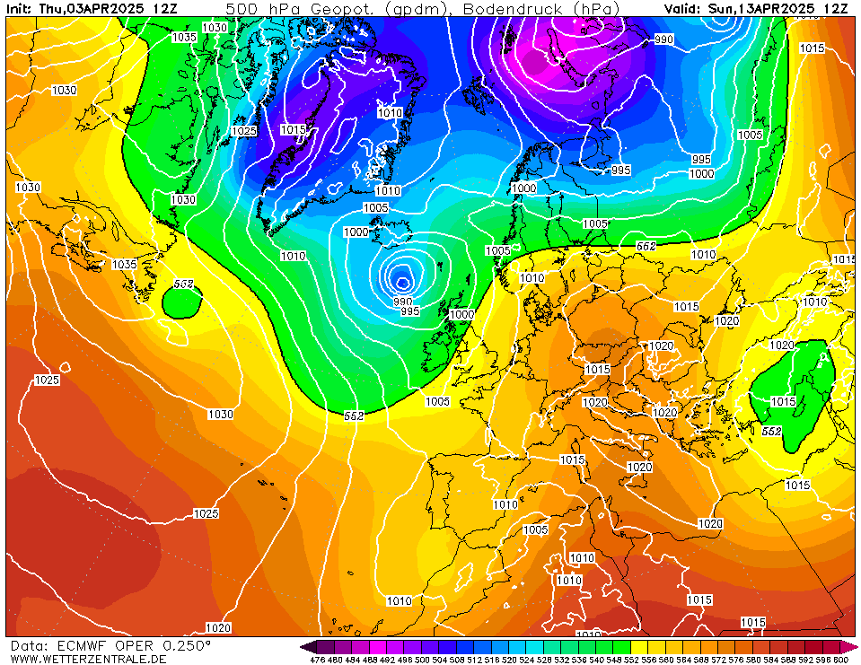
 

GFS 12z @ 240z: - A Greenland high of 1075mb's.
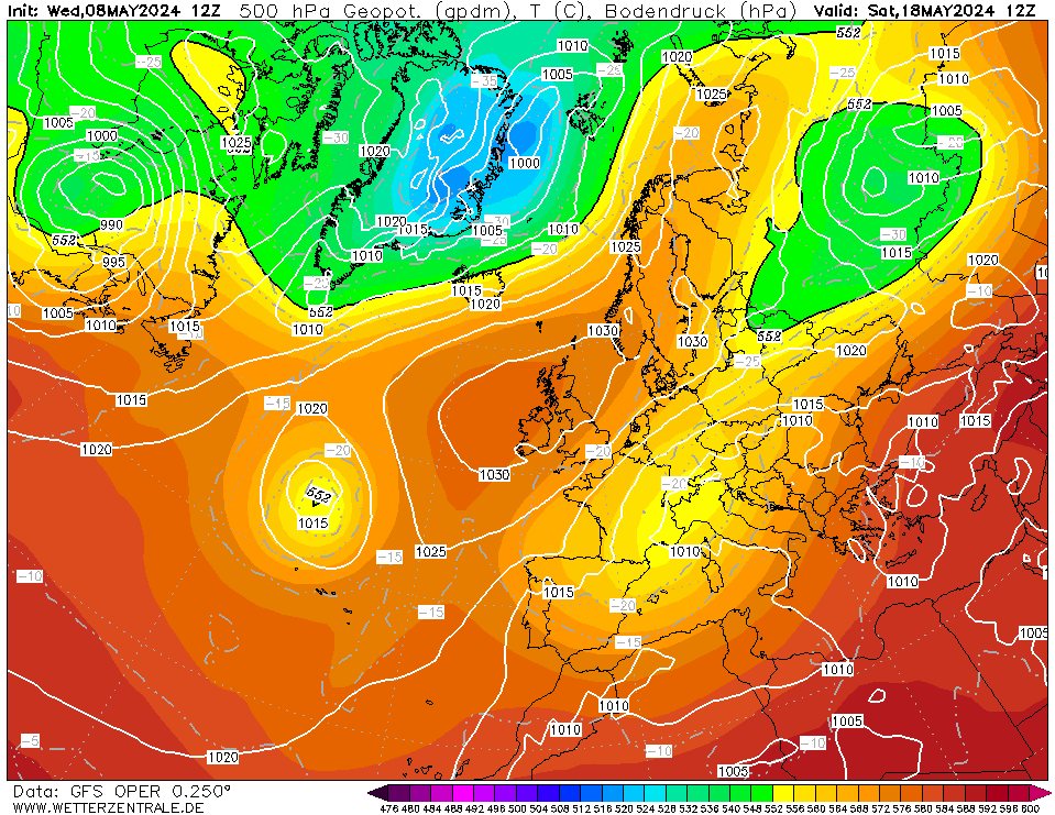
Either the ECM is defaulting to zonal or the GFS is over cooking the block. I expect somewhere in between however it is a long way off. met office are still fairly confident about colder weather with wintry showers in their extended outlook. - More runs needed of course.


Home Location - Vixen Tor Close, Okehampton, Devon (221m ASL)

---------------------------------------

Sean Moon

Magical Moon

www.magical-moon.com

western100
08 November 2021 19:51:33

Differences between GFS and ECM but both have large HP blocks in the run but vary in where it may sit. Blended solution possible

HP influence now can yield cold temperatures even if the blocks are less favourable. All very dependant

It has been pretty cold for November in Central England, obviously there will be large regional variations

IMBY 6.6 after 8 days which is -1.5 vs the National CET currently and below vs 81-10, 91-20 and 01-20 Nov average

Helped by 4 air frosts of course and last night down to 1.1 


Worcestershire / Warwickshire Border

100m ASL

X…..@Weather4u2

tierradelfuego
08 November 2021 19:53:46

Quite a contrast in to the GFS - the ECM shows something more zonal at day 10 with a really strong Azores high and lower heights over Greenland and Iceland in 12z:


GFS 12z @ 240z: - A Greenland high of 1075mb's.

Either the GFS is defaulting to zonal or the ECM is over cooking the block. I expect somewhere in between however it is a long way off. met office are still fairly confident about colder weather with wintry showers in their extended outlook. - More runs needed of course.

Originally Posted by: tallyho_83 


Presume you mean that the other way round yes?? You said above the ECM is looking more zonal, GFS blocked, but below saying GFS defaulting to zonal... confused.com...


Bucklebury

West Berkshire Downs AONB

135m ASL

VP2 with daytime FARS

Rainfall collector separated at ground level

Anemometer separated above roof level

WeatherLink Live (Byles Green Crew )

tallyho_83
08 November 2021 20:04:11


Presume you mean that the other way round yes?? You said above the ECM is looking more zonal, GFS blocked, but below saying GFS defaulting to zonal... confused.com...

Originally Posted by: tierradelfuego 

Yes haha - Corrected! Sorry only had 4 hrs sleep last night!


Home Location - Vixen Tor Close, Okehampton, Devon (221m ASL)

---------------------------------------

Sean Moon

Magical Moon

www.magical-moon.com

Gooner
08 November 2021 20:40:54

Chart image

Trend setters ? 


Remember anything after T120 is really Just For Fun


Marcus

Banbury

North Oxfordshire

378 feet A S L


White Meadows
08 November 2021 20:45:27
Potential for a severe and sustained northerly/ north easterly blast from around 17th
western100
08 November 2021 20:45:38

Chart image

Trend setters ? 

Originally Posted by: Gooner 


Currenlty some runs going cold around 18th and a few more from 22nd


Worcestershire / Warwickshire Border

100m ASL

X…..@Weather4u2

Brian Gaze
08 November 2021 21:33:14

A few of the MOGREPS runs are looking quite cold.


Brian Gaze

Berkhamsted

TWO Buzz - get the latest news and views 

"I'm not socialist, I know that. I don't believe in sharing my money." - Gary Numan

pdiddy
08 November 2021 21:55:31

ecm not having any of what the gfs is showing. No surprises there. I am always very wary when I see amplified synoptic charts like the 12z gfs op and control run with no support from the strat. Not saying it can not happen but very unlikely.
Jan 87 is the only time that springs to my mind where a very potent cold spell occurred that was trop led.

Originally Posted by: DPower 

Genuine question here...  does the QBO have a bearing on this at all?  Easterly now descending?

Russwirral
08 November 2021 22:50:04
HP really dictating the terms for thr forseable...

Probably why theres such big scatter in GEFS....


The Beast from the East
08 November 2021 22:55:29
Is Shropshire and Steve Murr still around? Would be great to get the banter going again
Purley, Surrey, 70m ASL

"We have some alternative facts for you"

Kelly-Ann Conway - former special adviser to the President

BJBlake
08 November 2021 23:48:21


Genuine question here...  does the QBO have a bearing on this at all?  Easterly now descending?

Originally Posted by: pdiddy 


Yes - in short: The unusual signals from the models for blocking will be influenced by the QBO being in its negative phase: The westerly phase helps drive weather systems from west to east, where’s that extra dynamo power is not there now, and being in reverse can slow down systems and encourage Trop’ blocks. The combined effect of the La Niña in the Pacific will help early blocking, rather than the normal super fast jet stream at this time of year - as the thermal gradient increases. 

The models are seemingly struggling to pin down the block development and I will expect more see-saw runs between very blocked and partial/ temporary block scenarios. Either way, there is potential for this year to develop into something very interesting for cold lovers, to which I firmly belong. The model rollercoaster has begun and I plan on enjoying the ride and hopefully not getting too disappointed if the models struggle with abnormal patterns as they do and change the crazy snow dump IMBY to drizzle and Snizzle. After all - we have had a pandemic, and thus far - I’m still here and breathing - so I am already relishing the journey and chance to see a Christmas card scene again in dear old Blighty - like I did last year. 

The climate might be 0.9 degrees higher than my childhood, but given the right Synoptics, I might still witness the utter transformational beauty of a crisp snow storm on the deciduous twigs and branches of a Norfolk woodland.. Enjoy....


Brecklands, South Norfolk 28m ASL
Tom Oxon
09 November 2021 00:30:20

I enjoyed those runs, if nothing else to finally see some cold pooling flooding into Eastern Europe

https://www.wetterzentrale.de/maps/GFSOPEE18_336_5.png

-12 to -10 mid-Nov daytime maxes in W Russia, almost old-school.


S Warwickshire countryside, c.375ft asl.
marco 79
09 November 2021 02:59:44
18z GEFS looking very dry ..anticyclonic rest of November looking fairly cool..hopefully without the gloom..


Home : Mid Leicestershire ...135m ASL
Heavy Weather 2013
09 November 2021 05:54:55
Well, the 0z GFS is a stunner.


Mark

Beckton, E London

Less than 500m from the end of London City Airport runway.

Brian Gaze
09 November 2021 06:42:24

Yes another very cold GFS op run.

https://www.theweatheroutlook.com/twodata/gfs.aspx?run=00&charthour=255&chartname=mslp850&chartregion=na&charttag=MSLP%20850hPa%20C


Brian Gaze

Berkhamsted

TWO Buzz - get the latest news and views 

"I'm not socialist, I know that. I don't believe in sharing my money." - Gary Numan

moomin75
09 November 2021 06:55:44

As happens so often though, there is a huge difference with thr ECM which is almost the polar opposite (pun intended) to the GFS.


Witney, Oxfordshire

100m ASL

Gooner
09 November 2021 07:05:58

Be happy with that in 10 days 


Remember anything after T120 is really Just For Fun


Marcus

Banbury

North Oxfordshire

378 feet A S L


Ally Pally Snowman
09 November 2021 07:12:33

Some support from the Control as well but not  much else yet. ECM not really buying the cold plunge yet either. But the GFS is often the first to pick up major pattern changes.  So we live in hope.


Bishop's Stortford 85m ASL.
Joe Bloggs
09 November 2021 07:17:22


so this is a useful ensemble graph to be watching over the next few days. ;) 

Relatively unlikely - for now. But as Ally says this is sometimes how we see things kicking off initially. 

Remove ads from site