I've spent all week telling people Friday will bring record heat but only above their heads, to many bemused reactions! 
So... yesterday mostly maxed 2-3*C above the model numbers rather than the 4-6*C forecast in the Met Office video foreast.
What on Earth is going on here?
Something I noticed in that forecast was that the wind flow shown was more south than east, as if they're using the upper winds instead of surface. Surely it can't be that their using the wrong winds to decide on the maxes - that'd be ridiculous!
Embarrassingly, the BBC forecasts, using MeteoGroup data, have fared much better these past few days.
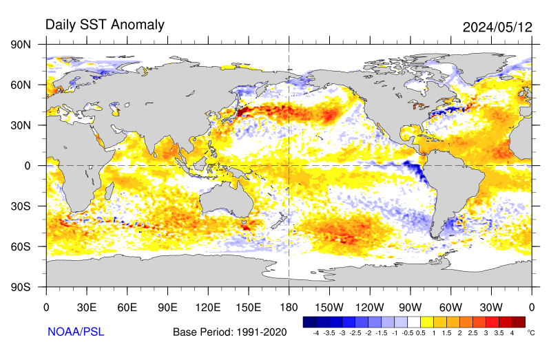
So what of today? We have a more easterly flow with a shorter sea fetch across SSTs that have warmed considerably in recent days:
...and locations that have seen since dawn or not long after are responding, with 10 am readings 1-2*C above those of yesterday.
So let's see if anywhere can get to at least within a degree of the magic 30 today.
p.s. We desperately need an auto-save of post content in this forum; I swear, there are few things more infuriating than losing 10 minutes of post material because of accidental tab closure while retrieving a website link!
Originally Posted by: Stormchaser