Of course the NAO index is a product of surface synoptics so is just another modelled parameter so one follows the other and vice versa.
And as we also know you can have a negative NAO and mild W Europe - they dreaded west based NAO.
Exactly - we had a negative NAo during the summer months and all 3 months were above average and July was well above average!
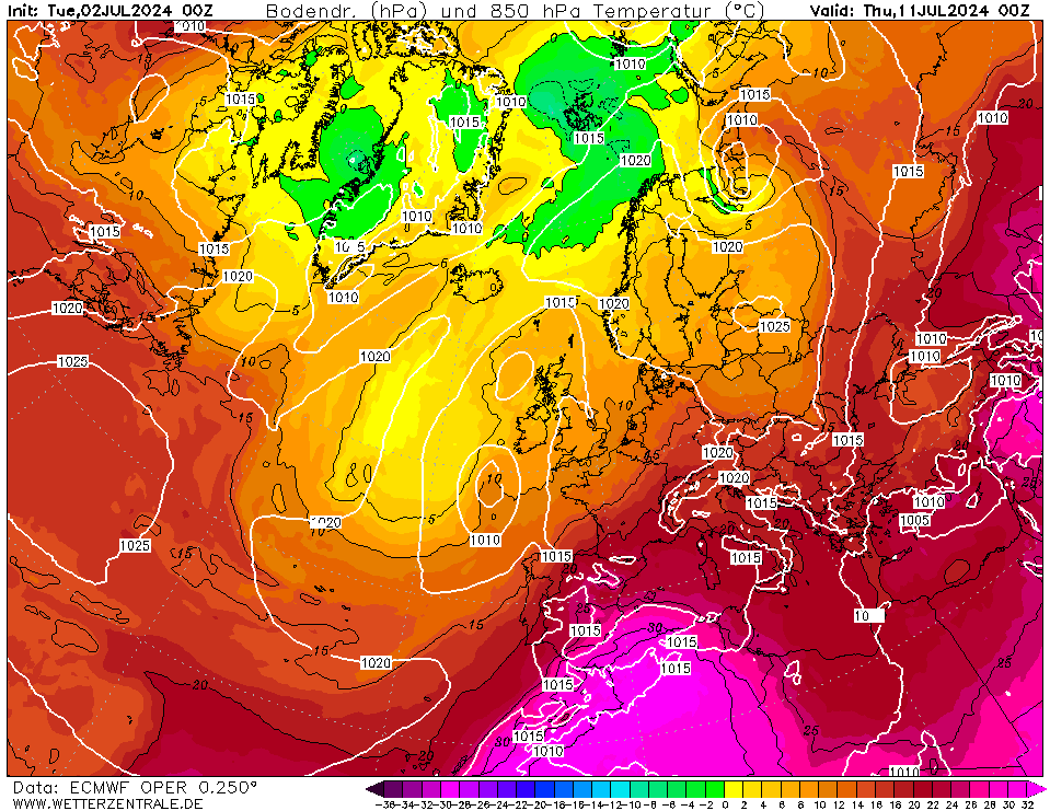
Back to the models - the ECM at +216 and +240: - This could be a snow event?
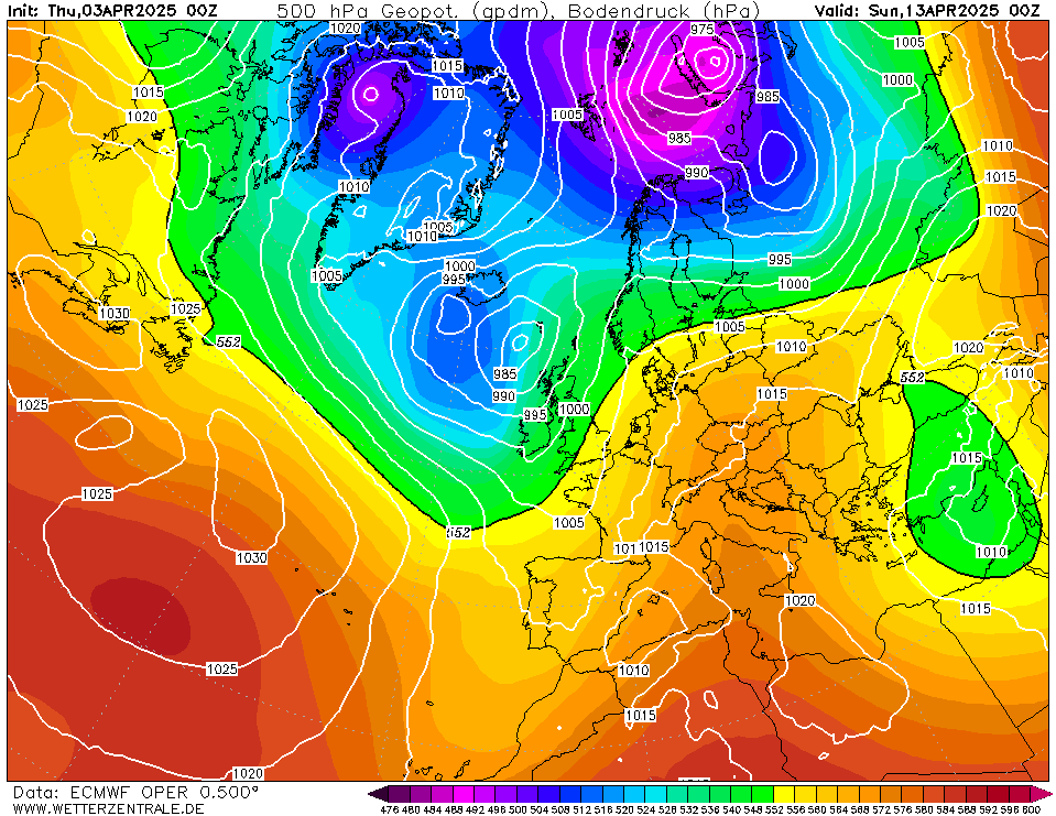
Cold air coming in from the north east and uppers of -10@ 850hpa to ]north and most of country under sub -5c @ 850hpa. and a front coming in from the SW!?>
+216
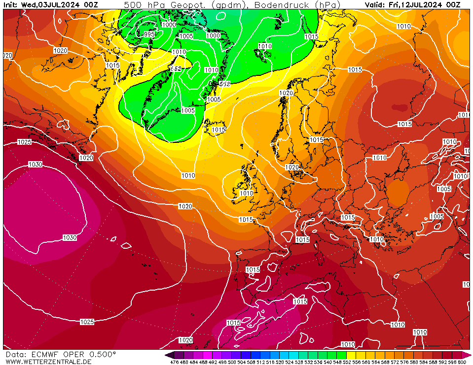
+240
Home Location - Kellands Lane, Okehampton, Devon (200m ASL)
---------------------------------------
Sean Moon
Magical Moon
www.magical-moon.com