Rob K
12 January 2019 18:37:37
Actually I had missed the 6Z parallel run - for the south that was even marginally colder. But two runs on the trot with widespread ice days - something's brewing at last.
Yateley, NE Hampshire, 73m asl
"But who wants to be foretold the weather? It is bad enough when it comes, without our having the misery of knowing about it beforehand." — Jerome K. Jerome
tallyho_83
12 January 2019 18:37:59


The differences on 25th January 2019:


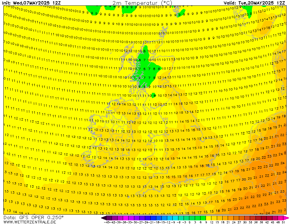
12z parallel chart @ 312 hrs:


MIDDAY TEMPS - SUB-ZERO NATIONWIDE? - Mildest part? Aberdeen/?


The snow depth:


-------------------------------------------------------------------------------------------------------------------------------------------


NOW THE GFS OP run @ 312:
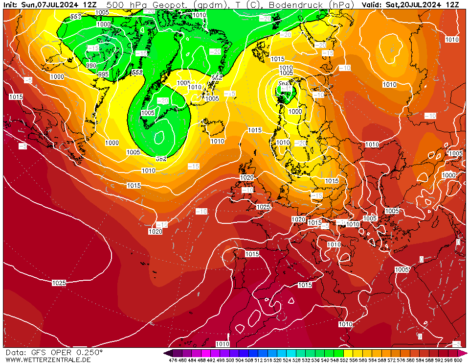


Midday Temps hold above freezing!


The Snow Depth:


GFS OP always seems to be milder than the Parallel? 


Home Location - Kellands Lane, Okehampton, Devon (200m ASL)
---------------------------------------
Sean Moon
Magical Moon
www.magical-moon.com


doctormog
12 January 2019 18:42:53

Originally Posted by: tallyho_83 


MIDDAY TEMPS - SUB-ZERO NATIONWIDE? - Mildest part? Aberdeen/?


It’s purely hypothetical at that range Sean but Aberdeen is not in the sea. The chart shows a temperature of just below freezing, a good few degrees colder than parts of Cornwall. 


kmoorman
12 January 2019 18:46:38

Usual fluctuations in the Brighton Snow Row - 62 is the current score.


Home: Durrington, Worthing, West Sussex. (16 ASL)
Work: Canary Wharf, London
Follow me on Twitter @kmoorman1968
roadrunnerajn
12 January 2019 18:49:39

Originally Posted by: doctormog 


It’s purely hypothetical at that range Sean but Aberdeen is not in the sea. The chart shows a temperature of just below freezing, a good few degrees colder than parts of Cornwall. 


Cheers I noticed that.... however in a NE cold flow we would be close to freezing here except for the coastal strip.


Germoe, part of the breakaway Celtic Republic.
doctormog
12 January 2019 18:53:12

Originally Posted by: roadrunnerajn 


Cheers I noticed that.... however in a NE cold flow we would be close to freezing here except for the coastal strip.


Yes you’re right of course, I was just correcting Sean’s idea that Aberdeen was somehow an island off the east coast. 


Brian Gaze
12 January 2019 18:54:48
Someone asked about the snow row recently. It's max is 23, GEFS 1 to 20, control, mean and GFS. It's different to MC cause if the same run has snow 4x in one day it is only counted once.
Brian Gaze
Berkhamsted
TWO Buzz - get the latest news and views 
"I'm not socialist, I know that. I don't believe in sharing my money." - Gary Numan
Arbroath 1320
12 January 2019 18:55:42

ECM 12z at t216 is very different from the GFS 12z at the same time. The Azores HP is spoiling the party?

http://www.wetterzentrale.de/en/topkarten.php?map=1&model=ecm&var=1&run=12&time=216&lid=OP&h=0&mv=0&tr=24#mapref


GGTTH
Ally Pally Snowman
12 January 2019 18:57:16

ECM puts a bit of a downer in proceedings cold but not what we want Azores high far to close. The major models all very different still


Bishop's Stortford 85m ASL.
Gooner
12 January 2019 18:58:53

Originally Posted by: Arbroath 1320 


ECM 12z at t216 is very different from the GFS 12z at the same time. The Azores HP is spoiling the party?

http://www.wetterzentrale.de/en/topkarten.php?map=1&model=ecm&var=1&run=12&time=216&lid=OP&h=0&mv=0&tr=24#mapref


Poor from ECM and quite different from this mornings effort 


Remember anything after T120 is really Just For Fun


Marcus
Banbury
North Oxfordshire
378 feet A S L


Ally Pally Snowman
12 January 2019 19:00:52

Originally Posted by: Gooner 


Poor from ECM and quite different from this mornings effort 


Odds on massive mild outlier at day 10 ECM all over the place . In Para we trust!


Bishop's Stortford 85m ASL.
doctormog
12 January 2019 19:01:06
If you look at the movement from 216 to 240hr on that run, if the ECM had an “FI” section it would be a thing of beauty.
Arcus
12 January 2019 19:02:13
Well that's a keep-your-feet-on-the-ground effort from ECM... We'll see how Brian's ENS graph Y axis copes with it later.
Ben,
Nr. Easingwold, North Yorkshire
30m asl
Rob K
12 January 2019 19:05:07
Yes ECM at 240 looks pretty awful but it could potentially be setting up a northerly down the line

Yateley, NE Hampshire, 73m asl
"But who wants to be foretold the weather? It is bad enough when it comes, without our having the misery of knowing about it beforehand." — Jerome K. Jerome
Gusty
12 January 2019 19:10:29

ECM at 240 hours....ouch. 


This cannot be ignored.


Steve - Folkestone, Kent
Current conditions from my Davis Vantage Vue
https://www.wunderground.com/dashboard/pws/IFOLKE11 
Join Kent Weather on Facebook.
https://www.facebook.com/stevewall69/ 


Shropshire
12 January 2019 19:10:37

Originally Posted by: Rob K 

Yes ECM at 240 looks pretty awful but it could potentially be setting up a northerly down the line


Yes we would be going for a reload by day 11-12, but at least something interesting is in the mid-range on the ECM tonight.


From December 27th 2020, zonality will be banned from mixing with the UK. We appreciate that this may come as a shock to younger people and old Uncle Barty. This ban will last for a minimum of ten days.
David M Porter
12 January 2019 19:12:06

Originally Posted by: doctormog 

If you look at the movement from 216 to 240hr on that run, if the ECM had an “FI” section it would be a thing of beauty.


I think that is what a few GFS op runs in the last day or two have been suggesting happening during the week after next, after the initial colder blast from the north during the coming week.


Lenzie, Glasgow

"Let us not take ourselves too seriously. None of us has a monopoly on wisdom, and we must always be ready to listen and respect other points of view."- Queen Elizabeth II 1926-2022
David M Porter
12 January 2019 19:14:49

Originally Posted by: Gusty 


ECM at 240 hours....ouch. 


This cannot be ignored.


It looks poor on the face of it Steve for sure. However, my attention is drawn to the new HP cell emerging from the east coast of the USA which looks as though it could join forces with the Azores High cell in the mid-atlantic and cold lead to an even more potent N/NW blast later on. As I mentioned to Michael, GFS has been suggesting exactly this in one or two op runs over the last day or two.


Lenzie, Glasgow

"Let us not take ourselves too seriously. None of us has a monopoly on wisdom, and we must always be ready to listen and respect other points of view."- Queen Elizabeth II 1926-2022
doctormog
12 January 2019 19:17:09

Originally Posted by: David M Porter 


I think that is what a few GFS op runs in the last day or two have been suggesting happening during the week after next, after the initial colder blast from the north during the coming week.


I do think there is a chance of alternating cold and less cold interludes, at least over the next ten days. How long and how mild the less cold interludes are depends on a few things and is unclear at the moment.


pdiddy
12 January 2019 19:18:27

Originally Posted by: David M Porter 


It looks poor on the face of it Steve for sure. However, my attention is drawn to the new HP cell emerging from the east coast of the USA which looks as though it could join forces with the Azores High cell in the mid-atlantic and cold lead to an even more potent N/NW blast later on. As I mentioned to Michael, GFS has been suggesting exactly this in one or two op runs over the last day or two.


Spot on! it's this pulse of high that joins and drives up to Greeny in the ideal sceanrio.

Users browsing this topic

Ads