The Weather Outlook

Remove ads from site

TimS
  • TimS
  • Advanced Member
22 July 2021 15:46:41

Northern Ireland has done it again by 0.1c . 31.4c in Armagh.


 https://mobile.twitter.com/metoffice


Originally Posted by: Ally Pally Snowman 

This is a masterclass in how to break records: 0.1C at a time.


Brockley, South East London 30m asl
Bolty
22 July 2021 17:06:12
The temperatures seemed to have peaked very late today. It's hit 31.5°C here and that happened well past 17:00.
Scott

Blackrod, Lancashire (4 miles south of Chorley) at 156m asl.

My weather station 

moomin75
22 July 2021 17:10:02
From here on in, its goodbye to summer.
Witney, Oxfordshire

100m ASL

bledur
22 July 2021 17:23:15

From here on in, its goodbye to summer.

Originally Posted by: moomin75 

 I just dont know what to say

springsunshine
22 July 2021 17:34:05

From here on in, its goodbye to summer.

Originally Posted by: moomin75 

I very much hope you are right.

johncs2016
22 July 2021 17:49:29

From here on in, its goodbye to summer.

Originally Posted by: moomin75 

I was thinking the same thing much earlier on during this month at around the time when we had that flooding event here in Edinburgh, but that is not exactly how it has all turned out.

Because of that, I wouldn't be surprised if there was some more good weather during August, possibly even with some more really high temperatures, even if the weather does become a lot more unsettled and possibly even autumnal during the next week or so.


The north of Edinburgh, usually always missing out on snow events which occur not just within the rest of Scotland or the UK, but also within the rest of Edinburgh.

Ally Pally Snowman
22 July 2021 18:06:03

From here on in, its goodbye to summer.

Originally Posted by: moomin75 

Apart from tomorrow.  Lol.

Certainly looks like a rough week or so. After that who knows.


Bishop's Stortford 85m ASL.
moomin75
22 July 2021 18:13:48


Apart from tomorrow.  Lol.

Certainly looks like a rough week or so. After that who knows.


Originally Posted by: Ally Pally Snowman 

The steady decline to Autumn Ally. Lets just hope that we can get a winter worth waiting for.


Witney, Oxfordshire

100m ASL

Ally Pally Snowman
22 July 2021 18:21:06

The steady decline to Autumn Ally. Lets just hope that we can get a winter worth waiting for.

Originally Posted by: moomin75 

Its bloody annoying timing as we were due to stay at my parents near Weymouth on the 28th July for a week. Basically a free holiday but we might delay it now. Hopefully August will come good at some point. 


Bishop's Stortford 85m ASL.
moomin75
22 July 2021 18:28:16


Its bloody annoying timing as we were due to stay at my parents near Weymouth on the 28th July for a week. Basically a free holiday but we might delay it now. Hopefully August will come good at some point. 

Originally Posted by: Ally Pally Snowman 

We are LONG overdue a good August. Since 2003, I cannot recall a really good one. Its just an early Autumn month nowadays, and I can't see anything that suggests this August will be any different.


Witney, Oxfordshire

100m ASL

Crepuscular Ray
22 July 2021 19:11:52
31 C in Keswick, very impressive!
Jerry

Edinburgh, in the frost hollow below Blackford Hill

bledur
22 July 2021 19:31:40

[quote=moomin75;1363948]

The steady decline to Autumn Ally. Lets just hope that we can get a winter worth waiting for.

[/quote

]There is always next summer

Chunky Pea
22 July 2021 19:45:06


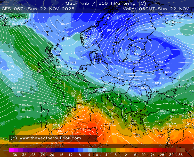
The main focus of the higher upper air temperatures seems to have been further west than usual, too. Often in these type of set-ups it only really gives a glancing blow across the southeast of England while fresher air gets pulled in across the west. But this time round there has been quite a wide dome of warmer air pushing up from the south, even though the 850s haven't been all that high - only 14-15C at most.


You can see too that the shape of the high means that Ireland has been getting more of a southeasterly continental feed, keeping the Atlantic air at bay more than usual.
 

Originally Posted by: Rob K 

Any continental feed that might have come over Ireland only really did so late yesterday or earlier today.


(gif animation image may take a while to load)


The air mass which accompanied this high was Atlantic maritime that was forced to descend and circulate around over small areas.  I am not fully convinced that today's heat even came from the continent because even if the air flow is coming up from there now, the heat here itself was already firmly established. 


Patrick,

East Galway, Ireland.

Lionel Hutz
22 July 2021 21:48:27


Any continental feed that might have come over Ireland only really did so late yesterday or earlier today.


(gif animation image may take a while to load)


The air mass which accompanied this high was Atlantic maritime that was forced to descend and circulate around over small areas.  I am not fully convinced that today's heat even came from the continent because even if the air flow is coming up from there now, the heat here itself was already firmly established. 

Originally Posted by: Chunky Pea 

So what made this particular Atlantic Maritime air so warm? It may have been forced to descend and circulate locally but surely that happens often enough? Atlantic Maritime air is bog standard fare for us after all.


Lionel Hutz

Nr.Waterford , S E Ireland

68m ASL


Chunky Pea
22 July 2021 21:56:25

No idea Lionel, but I would pipe a guess and say that stagnation of the high had much to do with it. This anticyclone came in from the Atlantic and basically settled down right over us. It was also an unusually high high (if that makes sense) for the time of year, so those extra few milibars would no doubt have helped with keeping the air mass just that little bit more compressed than it normally would at the surface. All just my theory which is, as always, open to correction.


Patrick,

East Galway, Ireland.

Sevendust
22 July 2021 21:58:29

From here on in, its goodbye to summer.

Originally Posted by: moomin75 

Lionel Hutz
22 July 2021 22:09:05

No idea Lionel, but I would pipe a guess and say that stagnation of the high had much to do with it. This anticyclone came in from the Atlantic and basically settled down right over us. It was also an unusually high high (if that makes sense) for the time of year, so those extra few milibars would no doubt have helped with keeping the air mass just that little bit more compressed than it normally would at the surface. All just my theory which is, as always, open to correction.

Originally Posted by: Chunky Pea 

There could be something in that. One thing that I have noticed is that(until today to a limited extent), we've had little or no sea breezes.  A sea breeze is generally one of the first things you'll see in a heatwave so that on itself is one of the unusual features of this spell.


Lionel Hutz

Nr.Waterford , S E Ireland

68m ASL


Chunky Pea
22 July 2021 22:18:10


There could be something in that. One thing that I have noticed is that(until today to a limited extent), we've had little or no sea breezes.  A sea breeze is generally one of the first things you'll see in a heatwave so that on itself is one of the unusual features of this spell.


Originally Posted by: Lionel Hutz 

The lack of sea breezes is certainly unusual and the far west coast of Ireland (the very exposed Mace Hd being an example) is getting up to 28c + the last couple of days, which would be unheard of even in more normal continental summer flows as the sea breezes tend to kick in there very quick. 


Patrick,

East Galway, Ireland.

xioni2
22 July 2021 22:25:06

So what made this particular Atlantic Maritime air so warm? It may have been forced to descend and circulate locally but surely that happens often enough? Atlantic Maritime air is bog standard fare for us after all.

Originally Posted by: Lionel Hutz 

It's not really Atlantic maritime air and the 850mb level can sometimes be misleading. The near surface (950-1000mb) flow shows the air mass originating from the Gulf of Biscay and with some mixing from the west Med too, so a pretty warm and humid source. That together with the strength of the upper level ridge and time of the year has produced this heatwave in Ireland. If there was some more complex topography, then you could have much higher temps due to local katabatic impacts.

Chunky Pea
22 July 2021 23:09:24

I don't have access to those 950-1000 hPa charts but even the 500hPa flow during this heatwave came straight from the Atlantic: (the Azores region)

19th:
https://i.ibb.co/Qk1KSMd/1.png


21st (yesterday)
https://i.ibb.co/4fgJyDT/2.png

(ECM Analysis)

I'm not going to dispute X's claim of lower air mass origin, but I know that when any air mass originates from Biscay/Europe/Med etc, they sky loses that raw Atlantic maritime look that we are all familiar with. This did not happen until today and it is now noticeable this evening with the sky now having that more poetic, dusky, hazy look (thought still raw clear at the surface level)


Patrick,

East Galway, Ireland.

Rob K
23 July 2021 06:38:58


Any continental feed that might have come over Ireland only really did so late yesterday or earlier today.


(gif animation image may take a while to load)


The air mass which accompanied this high was Atlantic maritime that was forced to descend and circulate around over small areas.  I am not fully convinced that today's heat even came from the continent because even if the air flow is coming up from there now, the heat here itself was already firmly established. 

Originally Posted by: Chunky Pea 


Thanks for the info  I hadn’t really looked beyond the 850mb and pressure maps but the shape of the high seemed quite unusual in that it extended a lot further west than we usually get, hence my thought that it helped to shield Ireland from the fresher air that usually comes up the west side of warm UK highs. 


Yateley, NE Hampshire, 73m asl

"But who wants to be foretold the weather? It is bad enough when it comes, without our having the misery of knowing about it beforehand." — Jerome K. Jerome

Chunky Pea
23 July 2021 07:06:19

Thanks for the info  I hadn’t really looked beyond the 850mb and pressure maps but the shape of the high seemed quite unusual in that it extended a lot further west than we usually get, hence my thought that it helped to shield Ireland from the fresher air that usually comes up the west side of warm UK highs. 

Originally Posted by: Rob K 

All theory really. You could be closer to the mark than me. 

But wherever this air mass came from, it can feck right off back to it. It is relentless and completely unenjoyable to be ether outside or in from it. It is just everywhere! 


Patrick,

East Galway, Ireland.

bledur
23 July 2021 07:55:53


All theory really. You could be closer to the mark than me. 

But wherever this air mass came from, it can feck right off back to it. It is relentless and completely unenjoyable to be ether outside or in from it. It is just everywhere! 

Originally Posted by: Chunky Pea 

 Although less extreme it seems similiar in feel to the heatwave in PNW and Canada. No breeze and a real pressure cooker feel. Did this air mass originate from there?

Lionel Hutz
23 July 2021 08:03:51


All theory really. You could be closer to the mark than me. 

But wherever this air mass came from, it can feck right off back to it. It is relentless and completely unenjoyable to be ether outside or in from it. It is just everywhere! 

Originally Posted by: Chunky Pea 

Interesting replies, Rob, Xioni and Chunky. All goes to show that the weather is rarely quite as straightforward as it might appear.

In contrast to you, Chunky, I'm quite happy with this weather. We see so much ordinary weather so I generally enjoy it when we get less common patterns and it's been lovely to get to the beach, even in the evening after work on a couple of occasions. Besides, you needn't worry - it may be just everywhere right now but it'll be a few years before we see this again.


Lionel Hutz

Nr.Waterford , S E Ireland

68m ASL


Rob K
23 July 2021 08:11:08


 I just dont know what to say

Originally Posted by: bledur 

I just looked at my calendar and worried I had overslept by a month or so. Let's face it, 30C is quite possible right up to the end of September so even if the next two weeks were a write-off (which I doubt they will be) that would still give us seven weeks where it could potentially be just as warm as today.

The Met Office extended forecast still looks pretty decent for August with talk of settling down and becoming drier and warmer towards mid month.


Saturday and Sunday look pretty poor for the south (but far from boring!) and after that it looks like standard English summer weather for a week or so to me - decently warm in the sun but always with the chance of a rogue shower.


Yateley, NE Hampshire, 73m asl

"But who wants to be foretold the weather? It is bad enough when it comes, without our having the misery of knowing about it beforehand." — Jerome K. Jerome

Remove ads from site