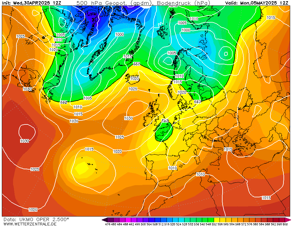
Was just going to post "more runs needed", but we'll have a little looks at next week's prospects on Helene et al(i):
12z UKMO really doesn't want to make much of it (but has wobbled considerably in recent runs):
ICON not really interested either:

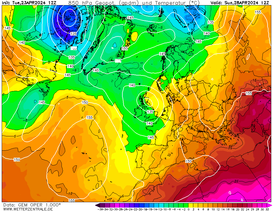
GEM pumps up the volume somewhat:
GFS does the same. But more.

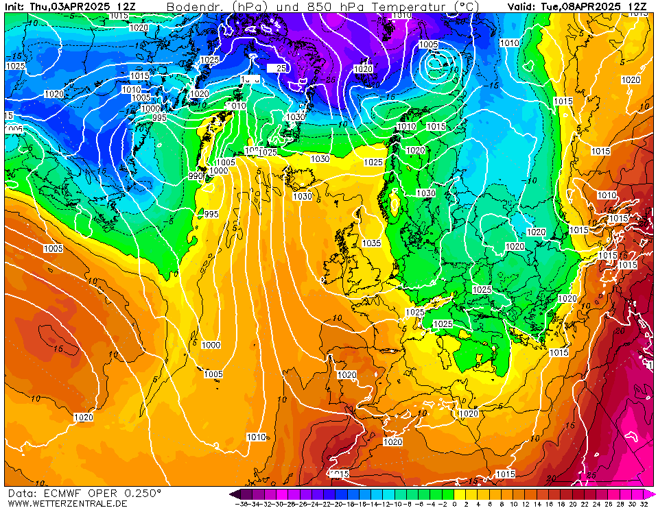
ECM similarly looks perilous for some:
Given the spread, much to be resolved. But interesting to see the swings in output as ever.
Ben,
Nr. Easingwold, North Yorkshire
30m asl