So, June's out of the starting blocks on a positive (mean temperature) note but now we're into a considerably cool spell that looks to continue through Sat, then ease a bit but mainly by day, with nights taking a little while to recover.
GFS 00z & 06z runs both drag the CET downward to a low of ~12.5°C on 10th, over 1°C below average for that point in the month.
Then comes a warm-up sufficient to neutralise the CET anomaly by the midpoint of June, at ~14°C.
Both runs go on to feature near to slightly above average temperatures overall, with the CET ~14.3°C as of 20th.
Meanwhile, the ECM 00z is a LOT warmer for Thu-Fri (maximums low to mid-20s) and a fair bit warmer for Sat-Sun (mid-high 20s).
Considering the overall negative bias of GFS with temps (e.g. the 06z of 1st June had the CET at only 13.8°C to 4th), there's plenty of reason to anticipate a warmer than average CET by mid-month.
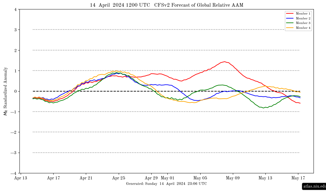
Considering an upsurge in AAM is expected by mid-month and which has been for some time (bar a wobble away for a few days prior to yesterday), which corresponds to a warm to very warm weather pattern for the UK, I'm already starting to suspect I should have gone at least half a degree higher with my CET estimate (14.98°C)! Somehow, I keep thinking chilly spells are going to hit harder than they do  .
.

If you have any problems or queries relating to TWO you can Email
[email protected] 🙂
https://twitter.com/peacockreports 2021's Homeland Extremes:
T-Max: 30.4°C 21st Jul | T-Min: -6.8°C New Years Day! | Wettest Day: 34.1mm 2nd Oct | Ice Days: 2 (27th Jan & 8th Feb)
Keep Calm and Forecast On