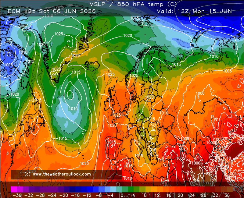
The T216 looks intriguing for some too:-
Some definite twists and turns so far in the (possible/probable/definite as you wish) breakdown, I'd be surprised if there's not more to come including some much less interesting versions too.
I wonder if the respective ens suites will have a decent number of colder members in the mid to longer term or if the ops are a bit isolated? This mornings set suggest the former!
Originally Posted by: Hippydave