It just goes to show - you can have an easterly QBO, the MJO in the right phase, a weak and displaced vortex and still end up with relentless zonal dross. I would advise those of us in the south making the most of the next few days, before the wet and windy weather resumes.
There is still a low chance of some decent cold for a brief time down here (rather higher "up north"), but I have to admit it's damned hard not to write off the rest of December at the moment.
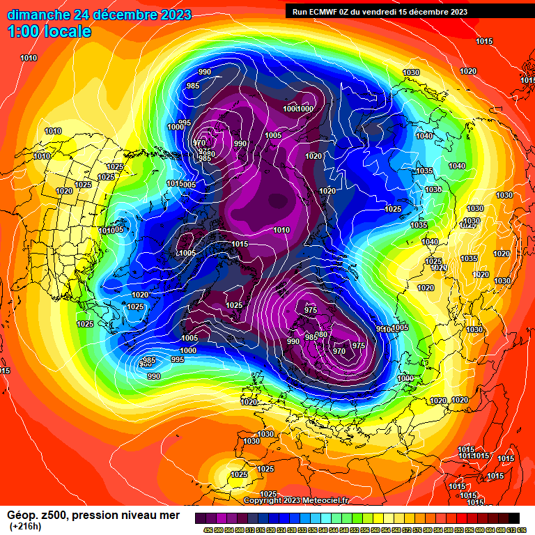
This 216 chart from the ECM sums it up well, I feel. It's been a long time since the vortex has upped sticks in winter from its normal home, and seeing a flat jet and mild conditions across the States is also rare these days.
The only consolation I can offer this morning for coldies down here (aside from the small chance of a notable cold shot around Christmas) is that the ECM 10hPa charts continue to trend down each day; the mean for the end of the month is now below the 10th percentile, and there's a good chance of an SSW by mid January. (That would be perfectly timed to mess up my flight to Japan in early February - odds on, perhaps? 😀)
https://images.meteociel.fr/im/25/25649/ECH1_216ezp0.GIF.png
Originally Posted by: Retron