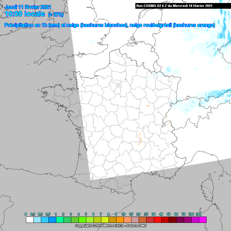
It never looked at strong favourite, given the way these situations tend to trend. But several of the high res models this morning still bring an area of mostly patchy light rain NE in the hours before sunrise tomorrow and then turn it to sleet and snow as a slightly heavier precipitation moves in. Probably at most 2-4 hours of sleet or snow but barely much of a covering away from elevation.
Of course, like all these finely balanced set-ups, the fine detail will change with each run through the day - and then what actually happens will be slightly different again.
Here's the most optimistic for snow:
Originally Posted by: Gandalf The White