18z GFS ensembles for London: - Looks new to me:
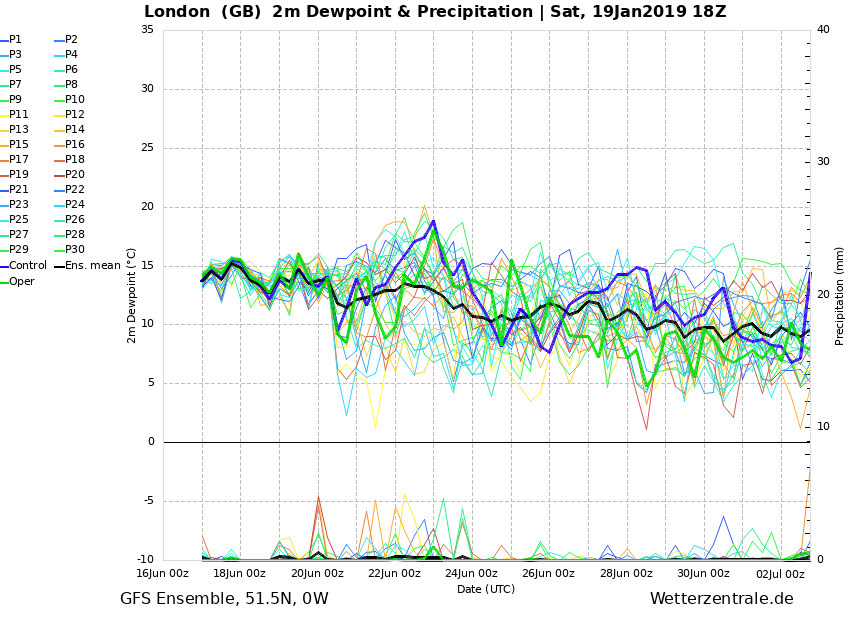
Both operational run & control take us into the freezer as you can see!
But in the more reliable time frame on 22nd/23rd we have -7 or so uppers with some precipitation! Could be snow?
Shame it goes average to milder but only for a time. - Just hope the FI charts don't downgrade then if we cant get the easterly end of next week!! - At least there is the snow potential for many Monday night into Tuesday.
Originally Posted by: tallyho_83