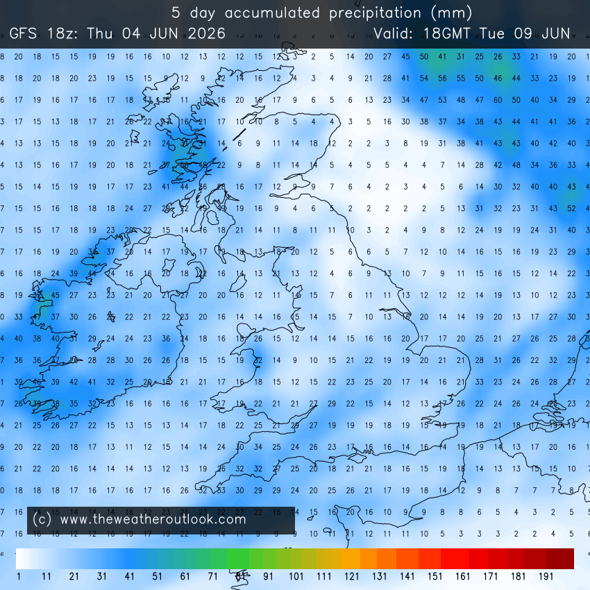
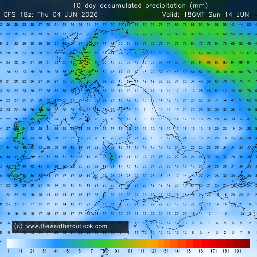
It sure does look benign as a whole for the next 7-10 days across most of the UK. Pretty dry with that - particularly considering that 99% of the rain across S. England comes from a quite vigorous (rainfall-wise) wave that the GFS 12z has moving across next Sunday when other models have it either weaker, further south, or both.
Impressive contrast in far-W. Scotland though, as the moist TM airflow on the NW flank of the high remains quasi-stationary for 2-3 days.
That these generally sluggish Atlantic troughs are occurring with a typical-strength polar vortex for the time of year demonstrates how large areas of poleward-moving anomalously warm air are messing with the thermal winds (jet stream) and forcing some meridionality during what would usually be a predominantly zonal period. With any luck this conflict with what the polar vortex would rather have taking place will have consequences that disrupt the vortex down the line.
I'm not going to give any idea when that might be, as for one thing it's still a bit too early in my book to be playing that game  .
.
Originally Posted by: Stormchaser