If only it were January!
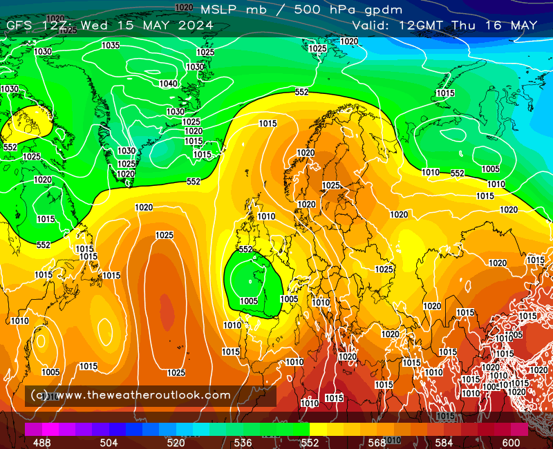
The GFS 12z is a picture. First up a cold NW'ly:
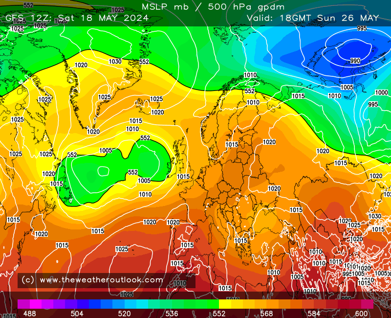
then the Azores High ridges in, linking with the Siberian High (already visible above), leading to something we've not seen in winter in years - a massive, blocking high stretching from Iceland to Finland, with ridging further east. NE'lies across the UK and a low near the south for added instability:
The whole lot then retrogresses, before eventually a low moves up from the south - a classic snowy breakdown (in January).

The odds of a repeat of this at the time of year when it would bring widespread snow are, of course, minimal. There is a theory that the weather has memory, i.e. patterns repeat after a while if the background drivers remain consistent, and indeed we saw it for the first half of summer, where the first halves of June *and* July were unusually cool compared to recent years. Will the pattern crop up again in winter? Perhaps, but I'd reckon late spring is more likely!
(The fun thing with all of this is that there's *so* much we still don't know. Why does the jet sometimes become slow-moving, leading to those repeated patterns, yet other times it suddenly becomes much more mobile? Why does an Atlantic hurricane sometimes dislodge things (i.e. earlier in the summer when we had some excruciatingly high dewpoints), yet other times it has no discernable effect? We have theories, and of course over on NetWeather the teleconnection folks would love to say they have the answers, but they don't - nobody does. For all our algorithms and data samples, we still can't crack the weather in 10 days' time with any great reliability. And I suspect that will continue to be the case for the rest of my life, at least!)
Edited by user
10 September 2024 17:06:18
|
Reason: Not specified