Bummer - para is good - same frozen on Wetter and Meteociel.
I wanted to check the latest snow event for the SW - if any and our best chance could be Tuesday night into Wednesday - one minute the Met office has a snow symbol for Exeter Tues night/wed and then it get's removed again.
Also the breakdown looks uncertain and with models re-establishing cold and a further blocking pattern and each run that high pressure is drifting that little bit further north isn't it? Right now it shows eastern Europe getting the cold but slight adjustment northwards would make the UK in the firing line - I wonder if we will see a 'breakdown? come end of the week?' Another question - I wonder how the met office are feeling about their long range seasonal winter forecast esp after the Glosea 5 seasonal which went for zonal flow and LP over Greenland!? 
Anyway- notice the change from 00z run @ 240z: - A cold high but snow to the Greeks.

06z run @ 240z:
High pressure tracking much further north and slightest adjustments could bring in another BFTE:
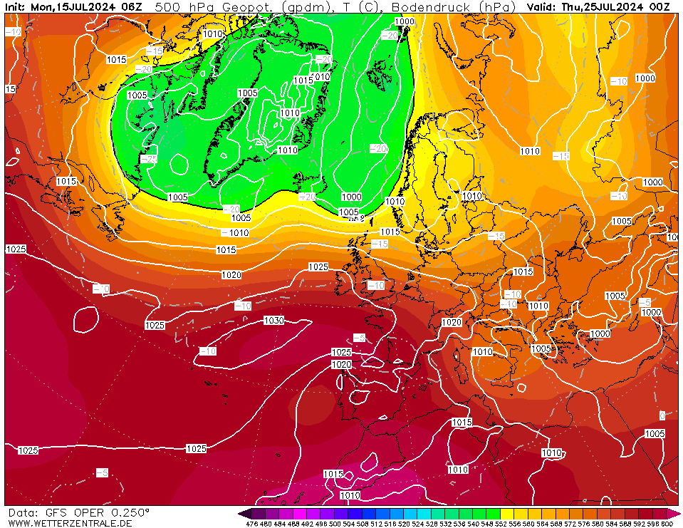
Also LP developing to south of Azores just off coast of Portugal - all FI but one to watch and meanwhile we have this weekend and all of next week to look forward to.
Originally Posted by: tallyho_83