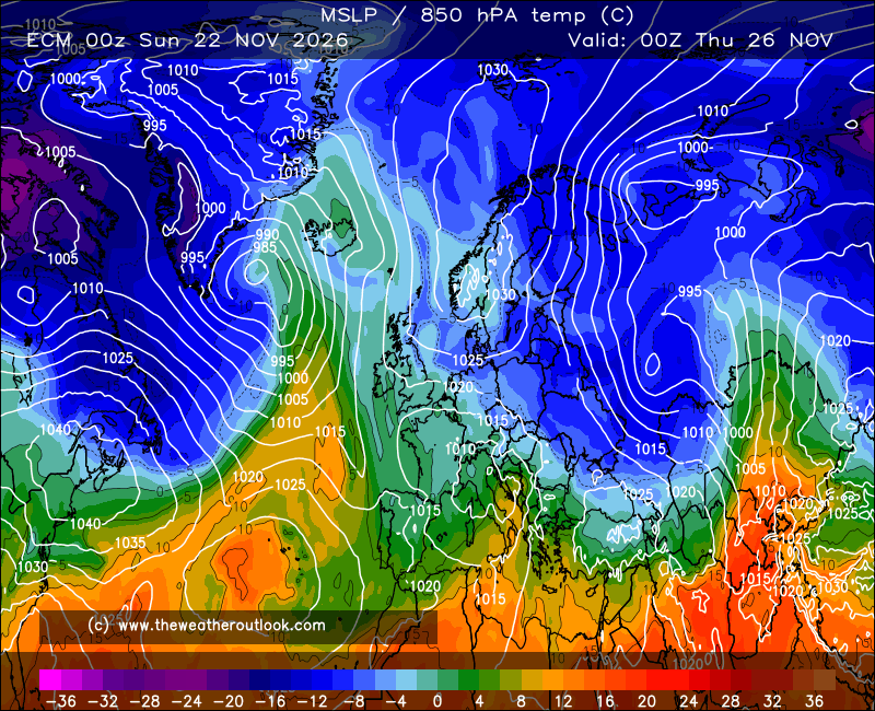
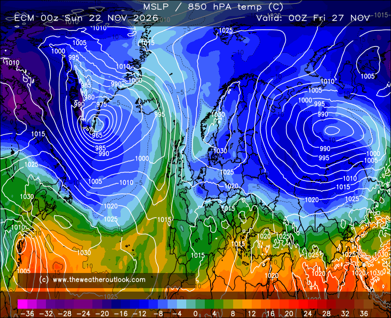
Just had a bit of an 'aha' moment with the 12z ECM, and it seems that in a way, the models in general have too.
Look at that shallow low over western Scandinavia. This has become increasingly well-defined over the past few sets of runs, and is a feature that splits away from the cut-off low during Mon-Tue, giving us a bit of trouble with showers or longer spells of rain in places.
It's the quite rapid movement east of this feature that opens the door to a strong eastward extension of the Atlantic ridge from just NW of the UK, which by interaction with the cut-off low begins the process of 'levering' the major heat dome up through the UK.
The results are very impressive on this run for the 850 hPa level... and it's far from the first run to show something like this, raising confidence despite FV3's reluctance of late (especially seeing as that's trended markedly toward ECM/UKMO on the 12z).
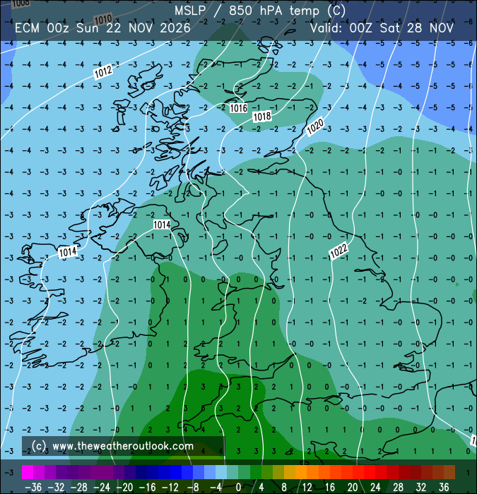
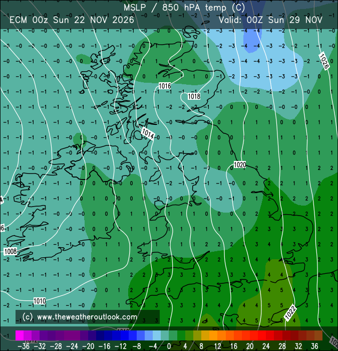
That's two days in a row with noon 850s of 23*C in my area of the country. Truly mind-blowing!
Of course, there's no guarantees that the ridge will shape up so well - it might not consolidate as much just E/NE of the UK, should the trough by Greenland not extend toward the cut-off low west of Iberia as much - but the broad-scale sequence has a lot of support now.
An important surface detail remains far from resolved, though - the exact flow of the surface winds. These are deflected anticlockwise relative to the upper flow.
So, the Friday chart above has an E flow across the south that's previously a NE flow over the eastern N. Sea, making for a notable cooling effect on surface temps - but they should still be able to hit the mid to high 20s in the SE, and high 20s to low 20s in the CS and SW regions.
The Saturday chart has an ESE flow across much of England that's fairly slack in the west and can be traced back to Belgium where it looks to be absolutely roasting. So that's the day on which surface temps could be most reflective of what one might deduce from the 850s alone; widely high 20s to low 30s, and hitting the mid-30s in the hot spots. A genuine chance of threatening the June record if that setup comes off.
FV3 also manages such peak heat on Sat, but only across the south, as it doesn't manage to set up the organised ridge needed to spread the core of the heat further north.
To say these are fascinating times, doesn't do them justice!
Originally Posted by: Stormchaser