What with these uppers?
This winter is actually very similar so far to that of 2012/13 except December is milder this year. but in terms of the SSW it's fairly similar to the weather pattern we had in Jan 2013. SSW occurred early Jan 2013 and we had cold weather around the 3rd week of Jan 2013 and Feb 2013 was milder for a time with an increase in westerlies and I remember some short lived northerlies with the HP trying to move northwards but kept of failing until end of Feb 2013 when it became drier and heights rose to our north and then the real cold with HLBing came in March 2013 and that lasted right through until early April. Where as this Jan 2019 we have had the SSW & split of PV at a similar time to that of during the winter of 2012/13 (give or take a few days) and we have had some cold weather in 3rd and 4th week of Jan 2019! Not identical of course but similar to that of Jan 2013 because if I rightly remember the cold and snow we got in Jan 2013 was not cause by much in the way of HLB.
Notice back in Jan 2013 we had southerly tracking lows!?
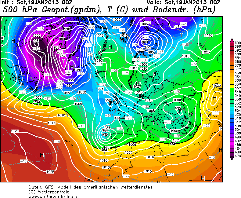
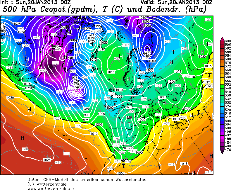
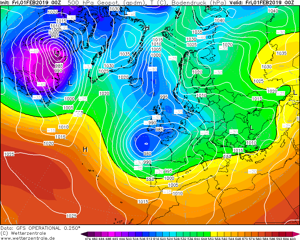
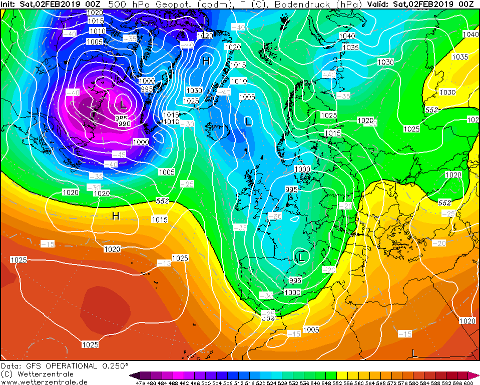
After a battle we never really got exceptionally cold in Jan 2013 and after a battle Jan 2013 ended mild and wet with long fetched south westerly wind which is what we are and will be experiencing more of soon and a strengthened Azores high and LP over Greenland:
--------------------------------------------------------------------------------------------
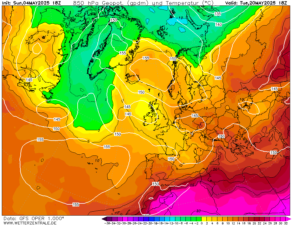
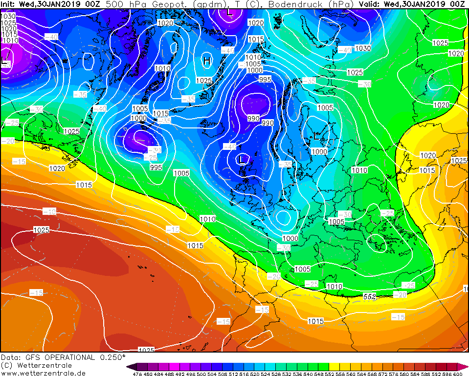
Jan 2019:
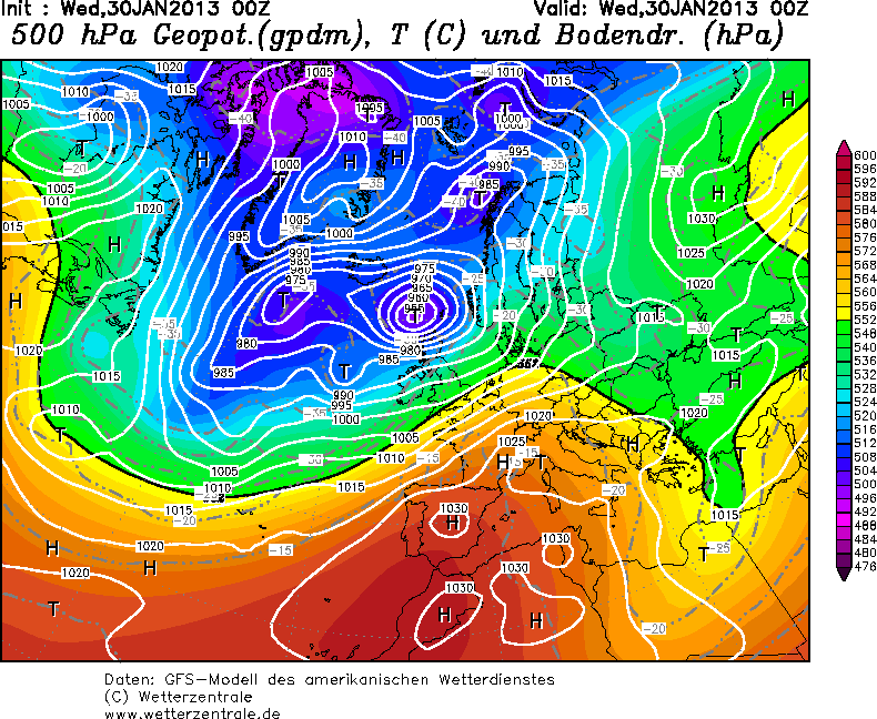
Seeing as the weather pattern has been similar to that of Jan 2013 - could we see a repeat of March 2013? i.e blocking never really getting going until end of Feb and March comes the bitterly cold easterly? It does look unlikely but never know!? just trying to be optimistic is such dire times weather wise and politically!
Originally Posted by: tallyho_83