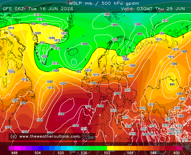
Some consistent interest around a week from now, with a northerly plunge being followed up by a left hook from the atlantic. Long way off, but often these battlegrounds can go either way, and can deliver snow at the same time to many.
With a consistent signal of blocking to the north, we could see the atlantic being forced to throw fronts along the south of England, in which case alot of us would remain in cold air.
One to watch i say.
Originally Posted by: Russwirral