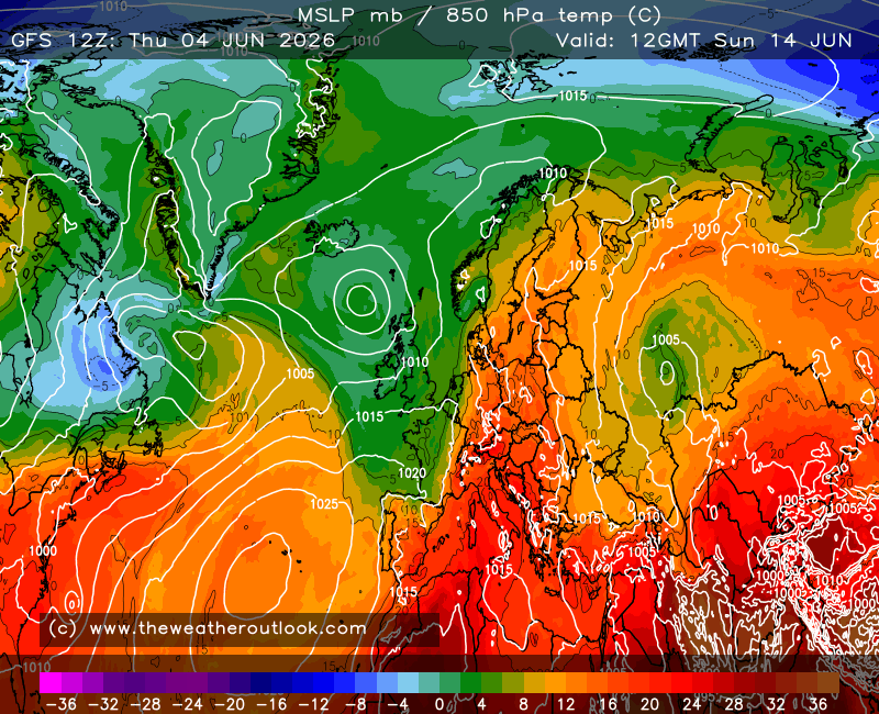
Not to entirely monopolise the thread with inane commentary but the GFS run appears to be at a crucial point - so far it looks okay at T240, just need HP to carry on establishing over Greenland and not split a cell down to our SW which appears to be a risk.
Steady as she goes for the mid to long term potential.
Edit - Just had a quick look through the UKMO run and it has the core of the HP further east, so suspect no immediate prospect of retrogression to Greenland, looks more like a slow topple through Scandinavia. Still, the GFS op looks nice!
Originally Posted by: Hippydave